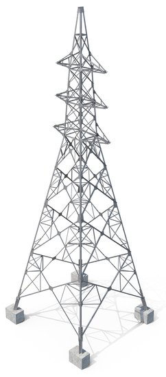
Investment opportunity in Afghanistan

Geospatial Services

GSP delivers top-tier geospatial services that enhance visibility, offer cutting-edge interactivity, and facilitate fully customizable applications. Our pioneering services offer deeper insights by amalgamating project knowledge, thereby elevating project success rates.

Our Expertise

GSP's geospatial services empower the capture, storage, analysis, and visualization of data through our Geographic Information System (GIS). Our GIS employs tailored computer-based applications, enabling interactive queries, as well as the storage and editing of both spatial and non-spatial data. This unique capability at GSP unveils profound insights within data, including patterns, relationships, and contextual situations, enabling our clients to make more informed decisions.


The comprehensive functionalities of these applications encompass web mapping, lifelike visual representations, advanced spatial analysis, mobile geographic information system collections, and real-time data collaboration.

Expertise and Proficiencies

Fully customisable apps- public facing web mapping, geospacial mapping, public facing web mapping, virtual site representations and data and project photo sharing.

GIS Analysis
2D, 3D and 4D data sets
Proximity mapping – Smart Mapping
Imagery investigations
Site assessments – photos, notes and real time updates and information sharing
Survey analysis
Real time task request and updates